Citizen’s Complaints in 1803 Led to Township’s Boundary
By Ed Dybicz 1962
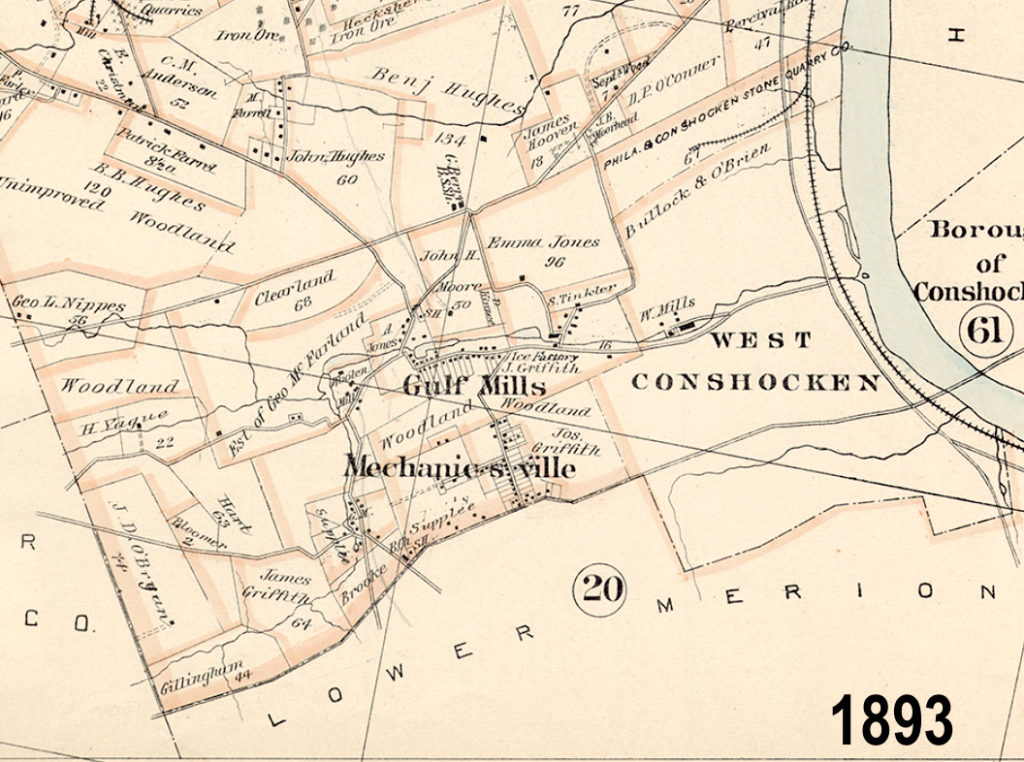
Matsonford Road, running Southeast out of the Borough of West Conshohocken, through Rebel Hill into Gulph Mills, is so well known at the dividing line between Lower Merion and Upper Merion Townships, that it is generally assumed this was always the line where the two townships met.
Nothing to the contrary is to be found in the various historical accounts of the two townships. It has remained for Chalres R. Barker, a renowned historian of Lower Merion to reveal that part of what is now Lower Merion Township, was once in Upper Merion Township.
Notwithstanding diligent search in public records, Mr. Barker found no court order for the laying out of either, Upper or Lower Merion Townships. Down to 1804, there was apparently no legal action on this matter, but the boundary depended solely on common usage.
According to records of the Historical Society of Montgomery County, immediately upon the founding of Pennsylvania, a Merion Township was created. This consisted of five square miles.
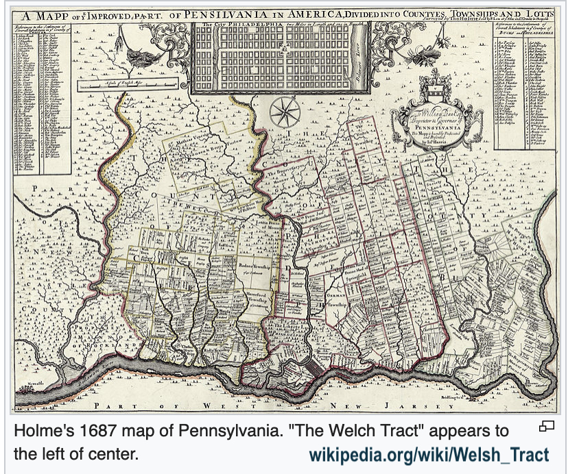
The Welsh Tract was officially laid out in 1684. It included most of Lower Merion, part of Upper Merion, and also areas in Chester and Delaware Counties, 40,000 acres in all.
In early deeds, properties in this locality were usually described as situated in the Welsh Tract. But about 1713, the names of Upper Merion and Lower Merion began to appear on deeds.
Gradually, without official authorization, Spring Mill Road, now in Lower Merion Township was accepted as the boundary between the two townships, from the Delaware County Line to a point a half-mile South of the Schuylkill. Thence, it curved to the Southeast, so as to include a strip along the River about two miles long in Upper Merion Township.
Examination of deeds for land on the Southside of the Schuylkill below West Conshohocken for that period before 1800 shows these lands in Upper Merion. Then, when the title to the land is traced, down into the 19th century, it is found that the deeds speak of the same land in Lower Merion.
In 1803 citizens of Upper Merion complained to the Montgomery County Courts because of the inconvenience created by this narrow strip attached to the Northeast corner of Upper Merion. It created a problem for the Township Supervisors and the Supervisors of the Poor. Furthermore, the people in that appendix had to travel a long distance to Upper Merion Schools and polls.
The Court appointed a commission to investigate the complaints. This commission reported as suggesting that “Matsonford Road, from the Schuylkill (at what is now West Conshohocken), to the Delaware County Line, between Lower Merion and Upper Merion, be the official boundary.”
The Court approved. The recommendation was made to both townships, and was so accepted.
However, another complaint about the boundary came before the Courts in 1842. It was asserted the former course of Matsonford Rd. had been changed in various places, creating an uncertainty. The Court appointed a Jury of View. A resurvey was made again, and so the president dividing line outside the Borough limits of West Conshohocken was made.
But, when West Conshohocken was created in 1874, the territory within its limits was taken out of Lower and Upper Merion, altering the township boundary as remains to the present.
It is interesting to note that in 1879 an attempt was made to divide Lower Merion Township, it was contended the township was too large. A commission reported in favor of the division. However, when the question went before the residents, they voted it down.
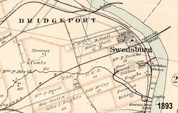
Swedesburg is the only village in Upper Merion Township which enacted boundaries. That was in 1833. Whether the community had visions of incorporation is not known, as no court records to this effect can be found.
However, a court paper does show that boundaries were made and this was published in three county newspapers.
Swedesburg was bounded by the Schuylkill on the North; Swedesford Rd. (now Ford St. Bridgeport) on the West; Peter Rambo’s farm on the East (present dirt road known as McCoys Road); and the New Road (near the present King Manor) now extinct on the South.
The boundaries were altered in 1851 when the Borough of Bridgeport was formed from Upper Merion Township.
Records do however, reveal that Swedesburg applied for a borough charter in 1927. The incorporation was not approved because of a technicality.


