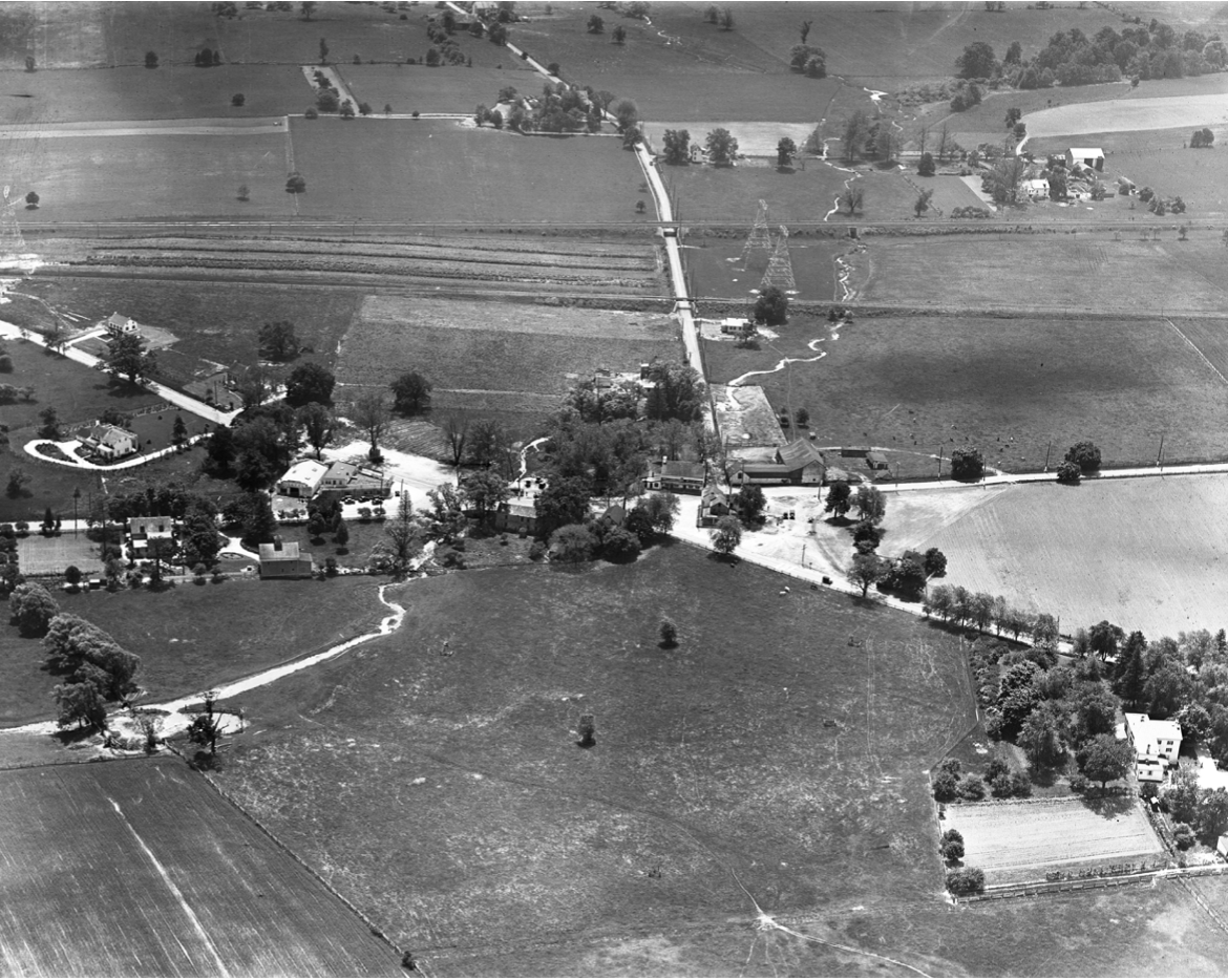
An aerial view of the town of King of Prussia looking south up King of Prussia Road. The photo was taken in 1928 by the Dallin Aerial Survey Company, based in the Philadelphia Municipal Airport (now Philadelphia International Airport). Victor Dallin was a Royal Air Force pilot in WWI, who settled in Southeastern Pennsylvania shortly after the war. He is best known for his aerial photographs of this area, shot on the “oblique” to capture every detail of the countryside. Here Swedesford Road (now Route 202) is shown from left to right, while Gulph Road travels from upper left to lower right, toward Valley Forge. Note the King of Prussia Inn in the foreground. The road next to the Inn, beginning in the center and going towards the top of the photo, is King of Prussia Road. It ran from the King of Prussia Inn through to Croton Road and beyond before being bisected by the Schuylkill Expressway.
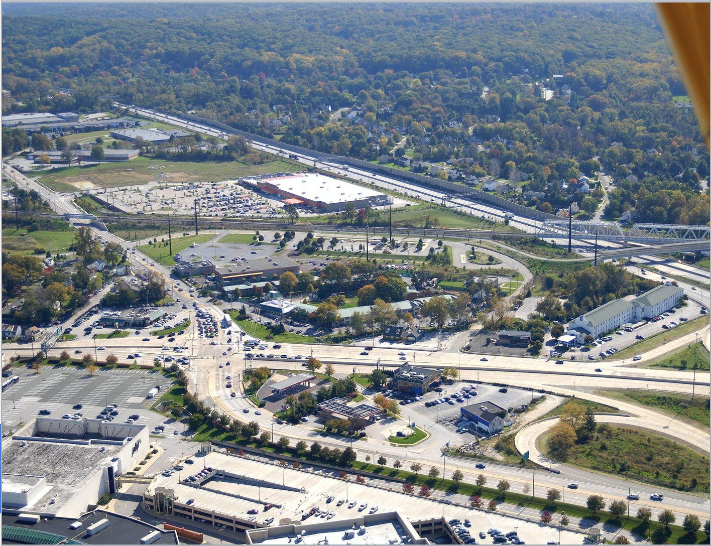
The changes between the black and white 1928 photo and the recreation of that early flight in 2009 are clearly staggering. The growth experienced by Upper Merion Township can be attributed to good people working together to do good things.


